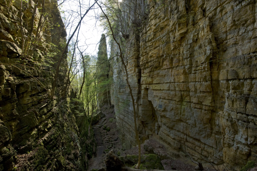
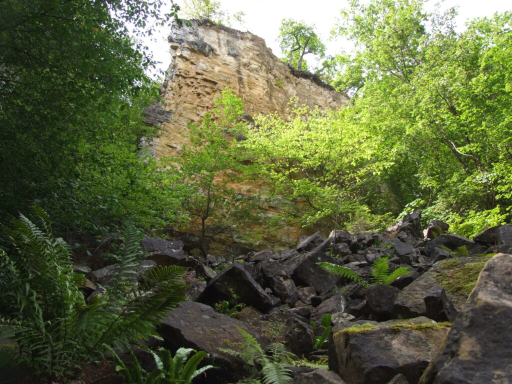
The steep rock cliffs of the up to 40-metre deep “Wolf’s Gorge” consist of Luxembourg sandstone (li2). While the sandstone forms the “Érelchen” plateau, the lower part of the slope down to the river Sauer is made up of clayey marls, clay stones and is covered by weathered hillside rock.
The Wolf’s Gorge was formed by a large landslide. This mass movement became active because the river Sauer eroded parts of the lower hill slope and at the same time additional sandstone debris were weighing heavily on the upper slope. Groundwater acted like a lubricant and thus facilitated the movement. At the edge of the plateau, the sandstone blocks inclined down towards the valley, stopped at an angle or tipped over. Many hillocks formed on the lower slope.
Numerous traces of movements can be observed on the slope of the “Érelchen” plateau: rock towers dislocated in different directions, large rocky blocks which had detached themselves from the rock face and irregular hillocks on the lower slope.
On the 1979 topographic map, the area of the landslide can easily be recognized from the irregularity of the contour lines. These lines trace the ridges that formed on the lower slope during the movement. The masses of rock and earth that slid into the valley even pushed the course of the Sauer to the north.