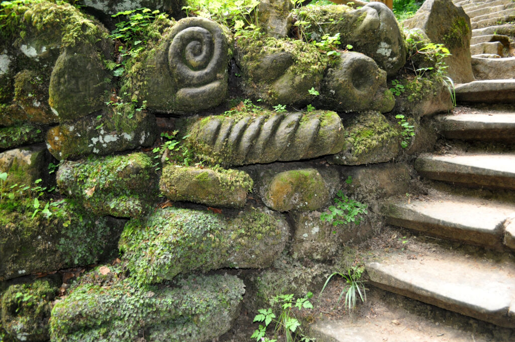


Haupeschbaach – Halerbaach
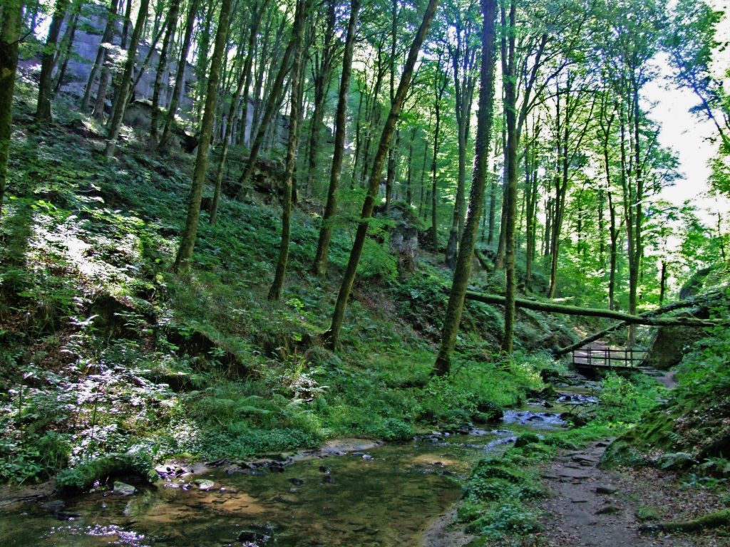
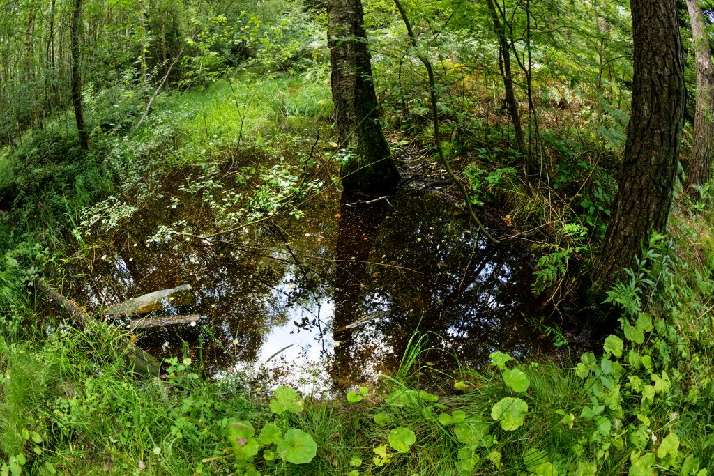
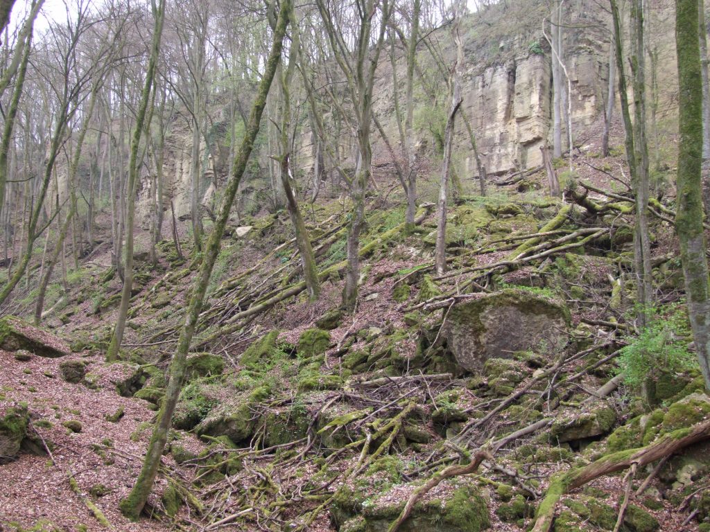
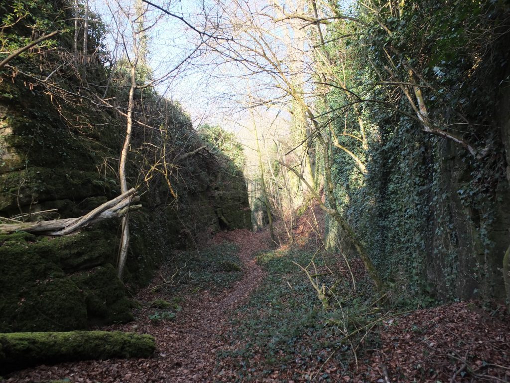
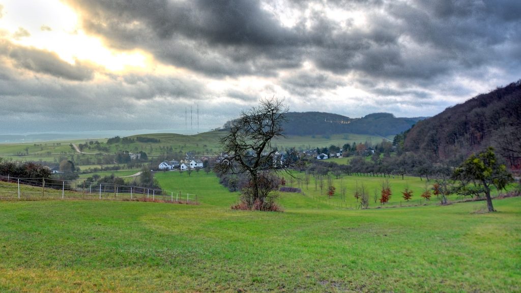
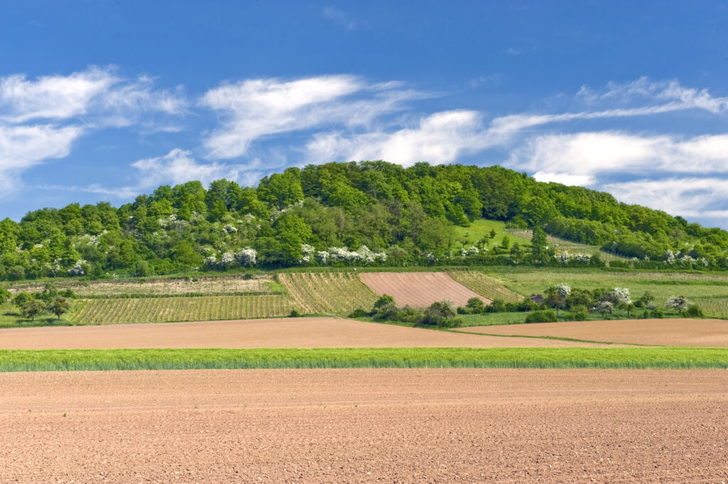
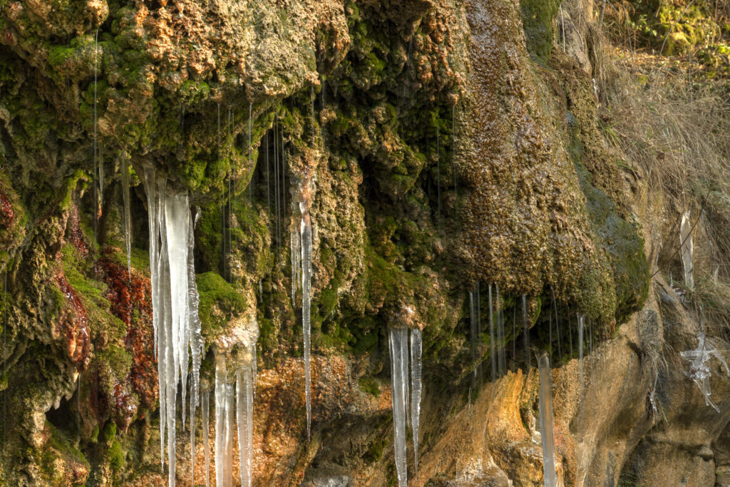
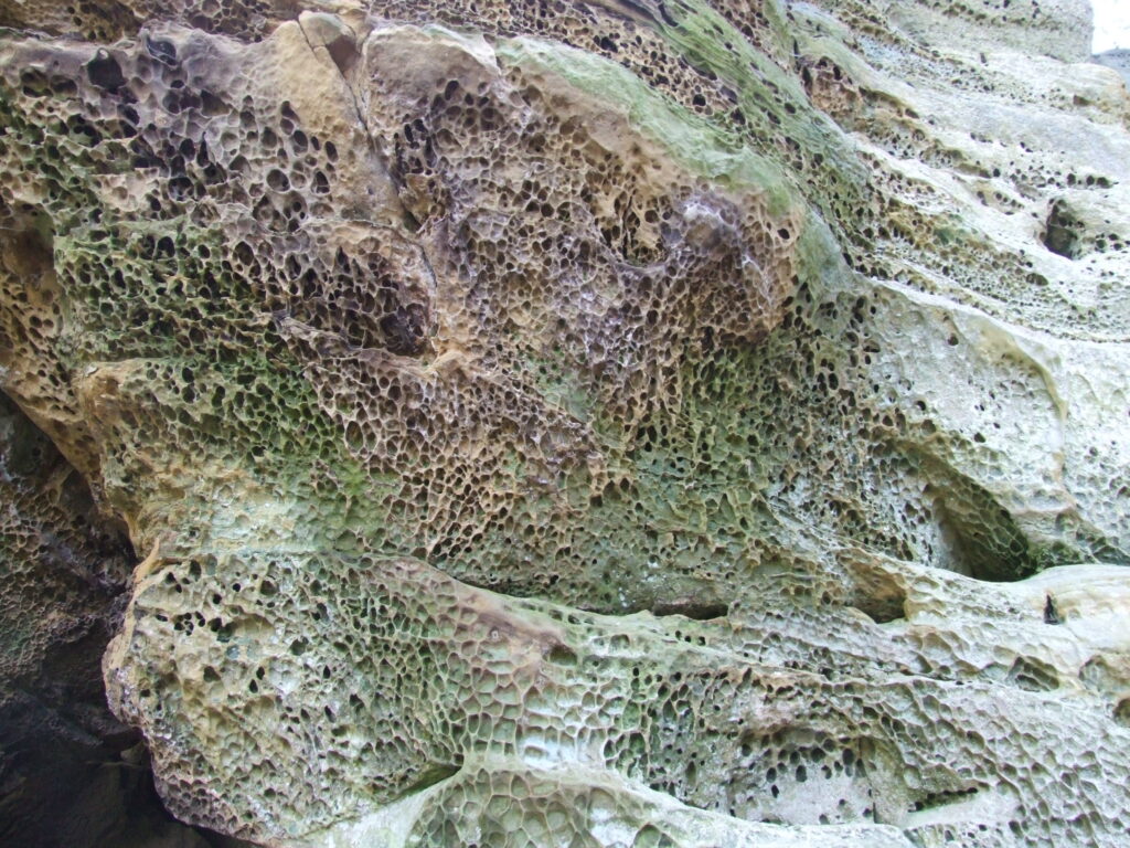
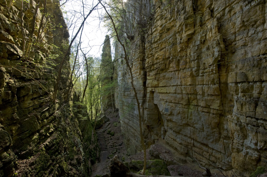
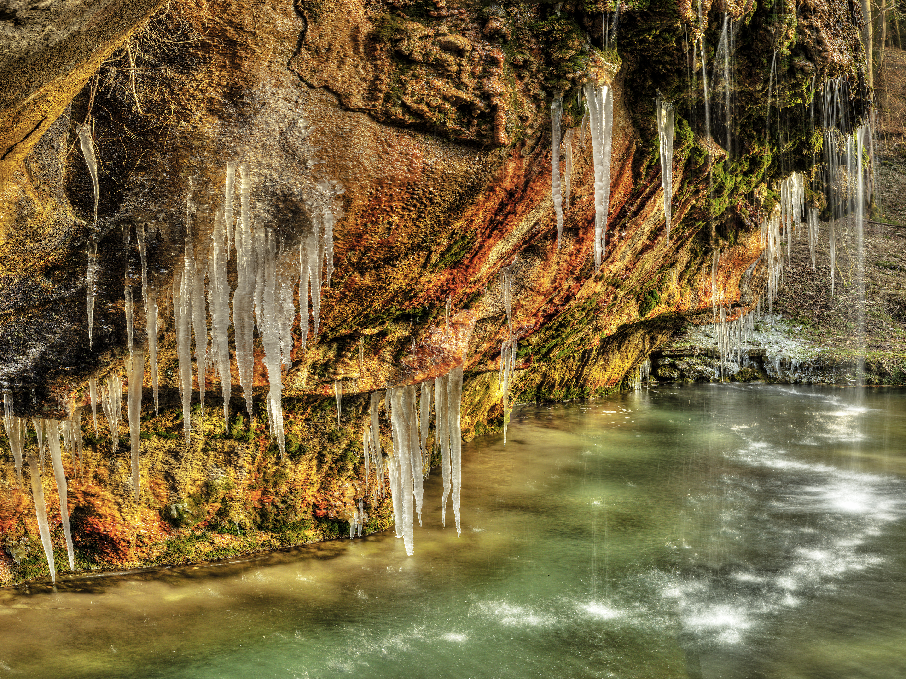
The valleys of the Haupeschbaach and the Halerbaach near Beaufort and Haller are incised into the Luxembourg Sandstone and show the typical forms of such valleys. They have been formed […]
The valleys of the Haupeschbaach and the Halerbaach near Beaufort and Haller are incised into the Luxembourg Sandstone and show the typical forms of such valleys. They have been formed […]
The valleys of the Haupeschbaach and the Halerbaach near Beaufort and Haller are incised into the Luxembourg Sandstone and show […]