At this location, the Luxembourg Sandstone plateau (li2) drops steeply down. About 100 m deeper, a gently undulating landscape of clayey marls (ku-km) extends to the south. There are still small remnants of sandstone on the marls on an isolated hill in front of the steep slope.
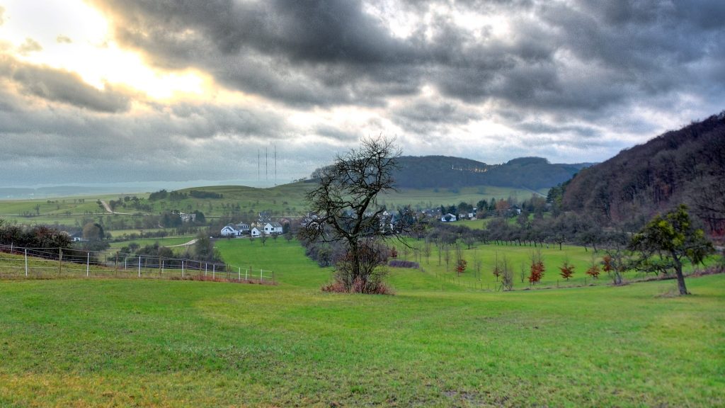
The hill is called “butte” and testifies that in former times sandstone also covered the southern parts. The sand was deposited extensively in the Lias period on the marl strata, which had been sedimented previously (in the Keuper period). But in the south of the plateau the sandstone has since completely been eroded, except for the small remnant.
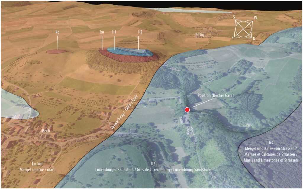
The visualised landscape in the large image was produced from digital terrain models, the geological map and aerial photographs. For example, the relations between geology and relief or between geology and the colours of the soils are easily recognizable, as the latter intrinsically depend on the different mineral compositions of the rocks.
The marl normally lies beneath the sandstone because it was deposited earlier. The boundary between the rocks is additionally formed here by a fault. The strata along this fault are offset in height against one another, so that marl also lies next to the sandstone.