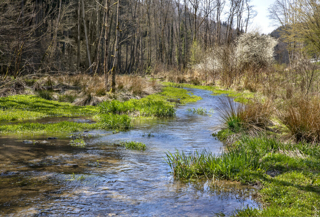


LU0001002: Valley of the Our from Ouren to Wallendorf-Pont
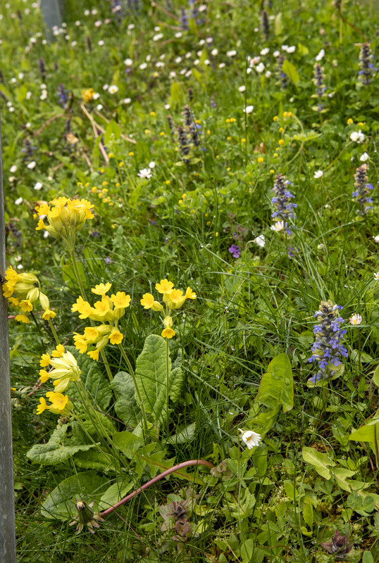
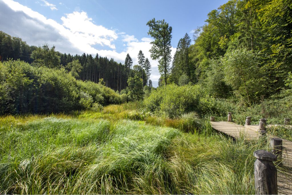
Area: 5675.92 ha (of which COPIL Natura 2000 Mëllerdall is responsible for 90 ha) Brief description (see also SDB end 2018-15/03/2019): The main targets for protection (under the ban on deterioration) in […]
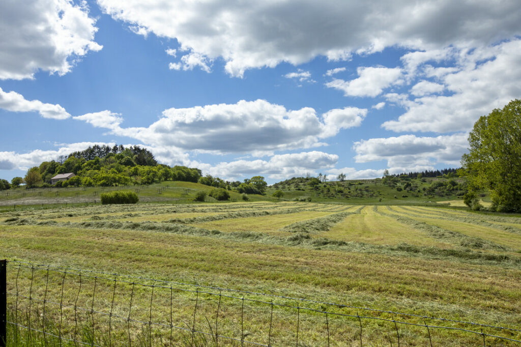
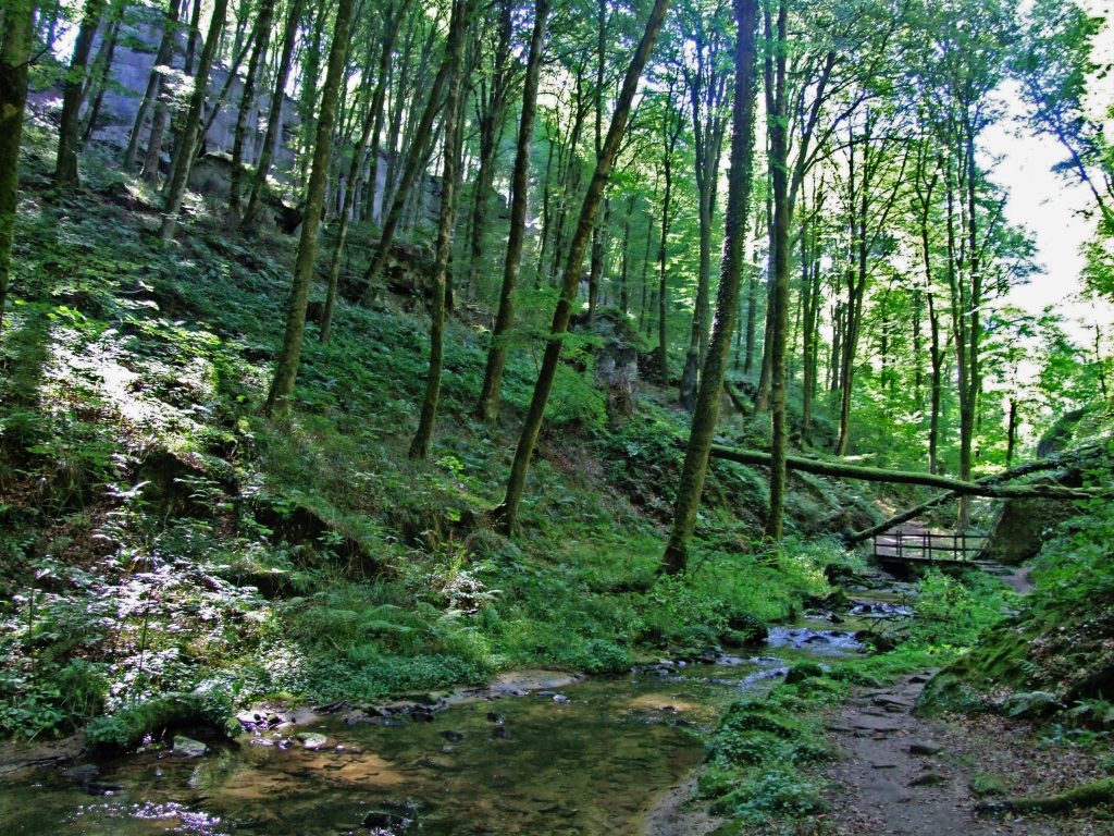
Area: 5675.92 ha (of which COPIL Natura 2000 Mëllerdall is responsible for 90 ha) Brief description (see also SDB end 2018-15/03/2019): The main targets for protection (under the ban on deterioration) in […]
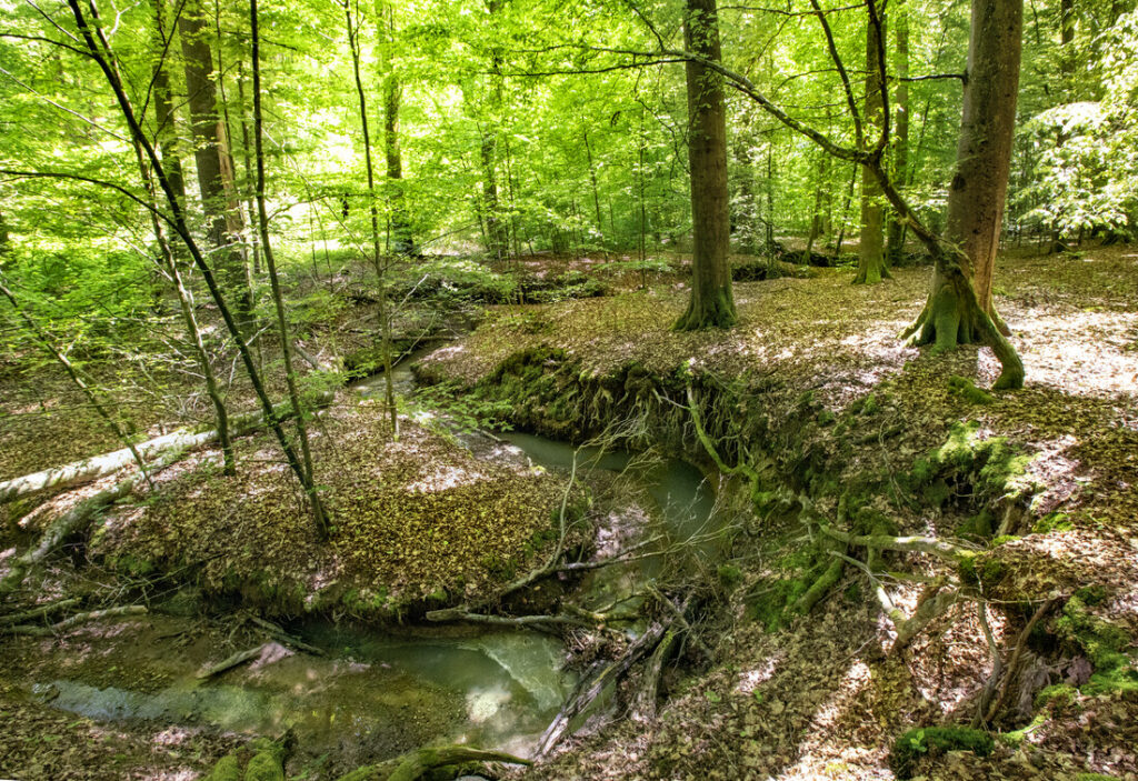
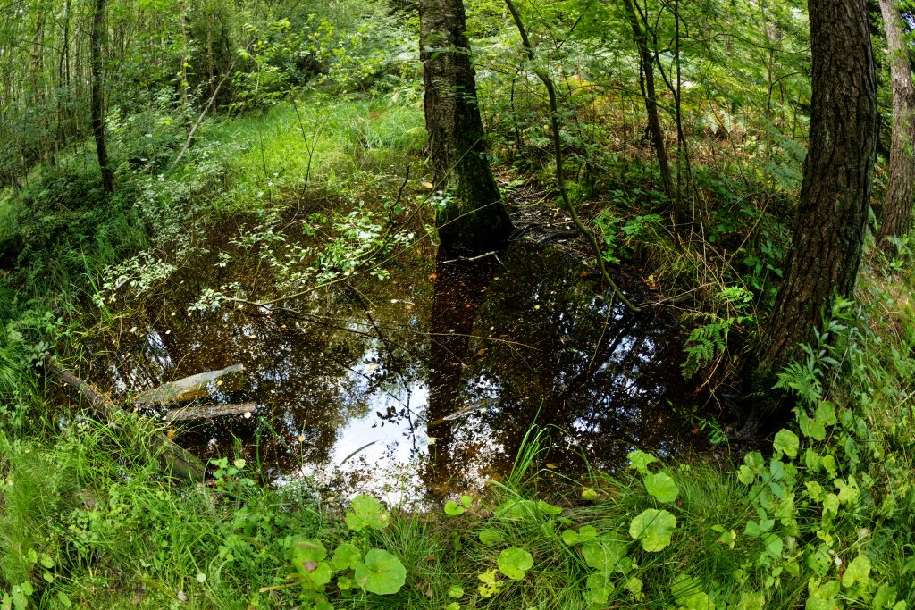
Area: 5675.92 ha (of which COPIL Natura 2000 Mëllerdall is responsible for 90 ha) Brief description (see also SDB end 2018-15/03/2019): The […]