Kuelscheier – a narrow rock crevice

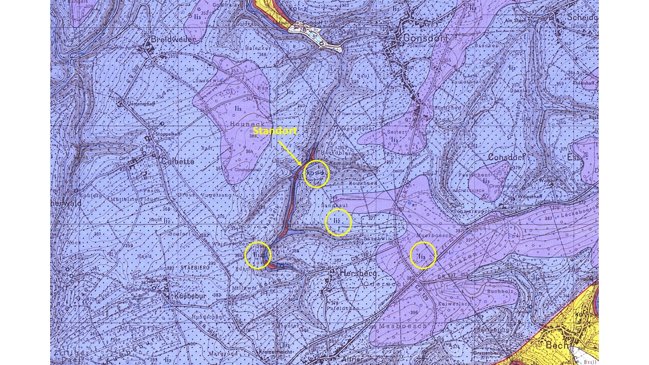
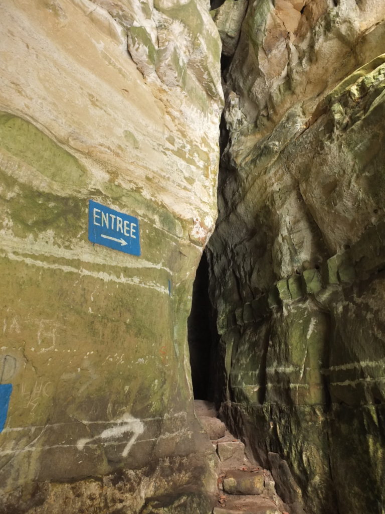
The Kuelscheier is a narrow, pitch-dark rock crevice in the Luxembourg sandstone. It runs over a distance of about 100 metres parallel to the valley of the Härdbaach stream. The nearby Rittergang and the Déiwepëtz are also such crevices. They opened up because huge blocks of rock along fissures detached from the rock face and slipped a little way down the valley.

Entrance to the Kuelscheier (c) NGPM Birgit Kausch

Opposite the Kuelscheier, groundwater gushes out at one of the region’s numerous springs. It is fed by water that seeped away as rainwater on the plateau.  The water that has seeped away collects at the base of the sandstone and flows over clayey marl strata to the springs.

On the geological map one can see a narrow strip of red (ko) and dark blue (li1) colour in the Härdbaach valley. Here, the clayey strata that are beneath the sandstone (light blue, li2) emerge at the surface. The sandstone blocks on them may slide towards the valley. (c) SGL
The historical postcard shows the rocks of the Kuelscheier at a time when the valley was not completely wooded. The name Kuelscheier can probably be traced back to the former production of charcoal. The rock crevices may have been used as barns (“Scheier”) for storing coal (“Kuel”).
Natural & Cultural Heritage info