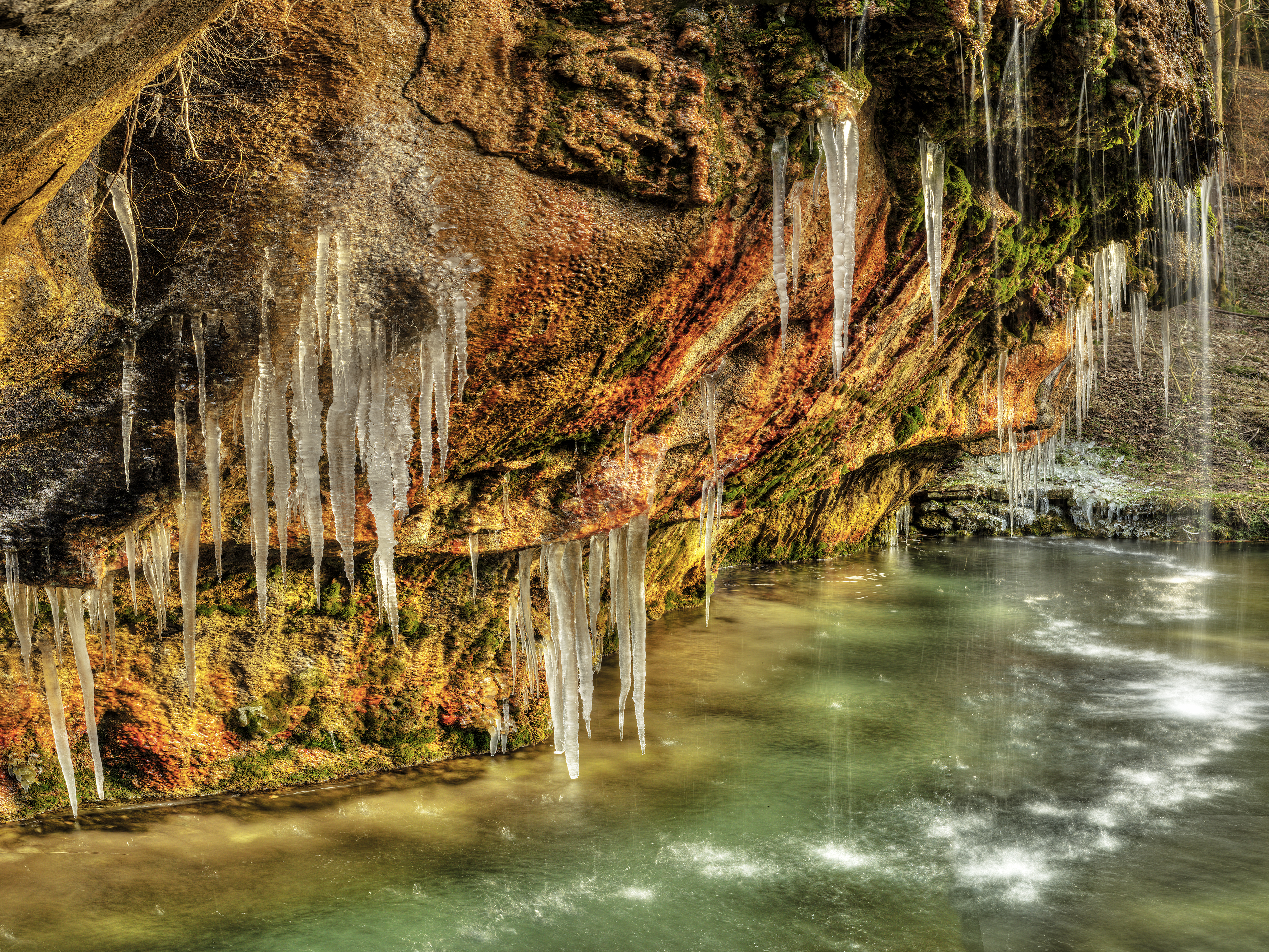
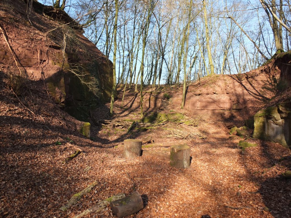
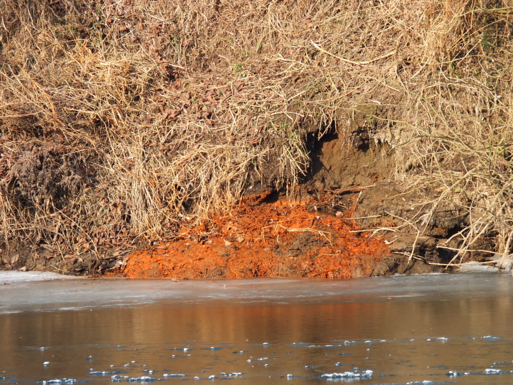
Salt was extracted near Born between the 16th and 18th centuries by means of a brine concentrating system. This is proven by a concession certificate dating from 1585. Salt mining was possible here because salt rich springs waters occur at various places on the river Sauer. One of the springs supplied a sufficiently large amount of water with a high enough salt content. Today, […]
Salt was extracted near Born between the 16th and 18th centuries by means of a brine concentrating system. This is proven by a concession certificate dating from 1585. Salt mining was possible here because salt rich springs waters occur at various places on the river Sauer. One of the springs supplied a sufficiently large amount of water with a high enough salt content. Today, [...]
Salt was extracted near Born between the 16th and 18th centuries by means of a brine concentrating system. This is proven by a concession certificate dating from 1585. Salt mining was possible here because salt rich springs waters occur at various places on the river Sauer. One of the springs supplied a sufficiently large amount of water with a high enough salt content. Today, [...]